
Please open the following documents to learn about our Geography curriculum:
- Whole School Planning
- DJS Geography Concept Threads
- DJS Geography Assessment
Why are our geography lessons important to us?
Why does geography matter? Please watch the following David Attenborough video clip to appreciate why.
Resources you can use at home:
https://digimapforschools.edina.ac.uk/
https://www.ordnancesurvey.co.uk/mapzone/
UK Games | World Geography Games Online
Seterra Geography - Free Map Quiz Games
As part of our latest Geography ‘Pupil Voice’, pupils from every year group were asked what they enjoyed learning about the most in their geography lessons. We made their responses into a word cloud:

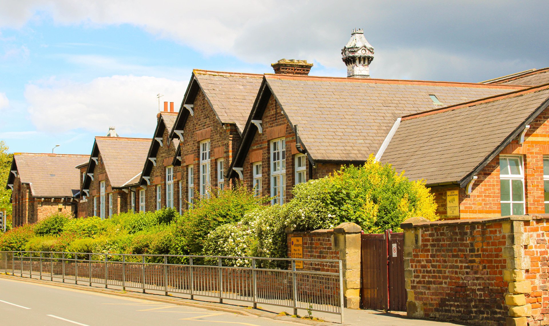
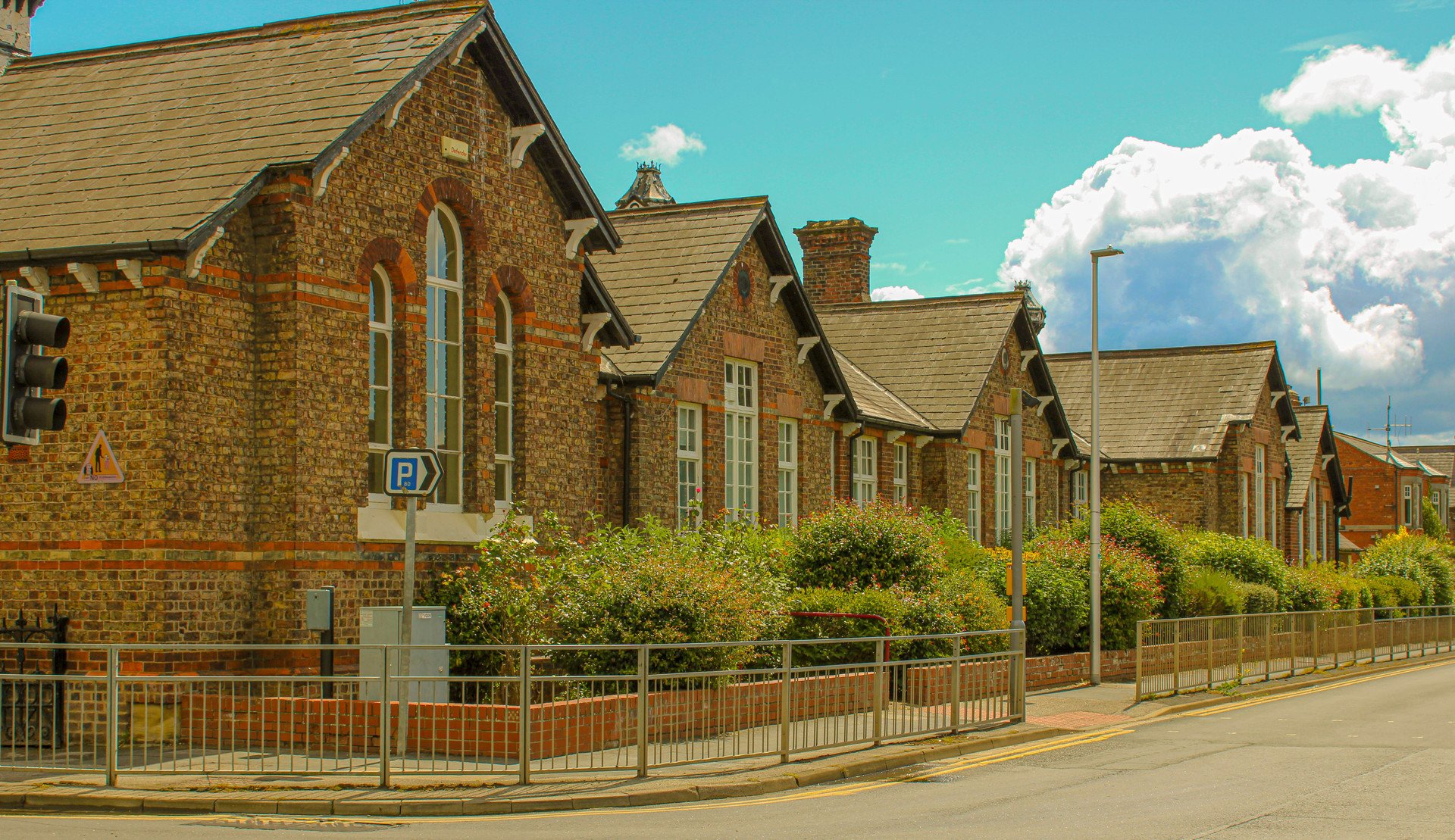
What does Geography look like at Driffield Junior School? Have a look through our gallery:
Geography in Year 3
Who am I? Who are we? (Autumn)
At the start of year 3, pupils join us from two separate infant schools. Our school and grounds are very large and so In order to help our pupils familiarise themselves with their new school, this fieldwork takes place early in the term. Pupils explore the school buildings and grounds using a simple map. They identify key places eg. the sports hall, willow maze, school garden etc. They consider direct routes of walking from their classroom to specific places and alternative routes. Pupils revise (KS1) ‘aerial view’ and produce a plan of their classroom. They use locational geographical vocabulary and work together to add the photographs and symbols to a digimap school map.


We 'Dig' Driffield (Autumn)
During this unit, pupils undertake fieldwork within their local area of Driffield, helping them to build their own identity and develop their sense of place. Through observing, collecting data for themselves, analysing it and describing their findings, pupils create a new guide book for Driffield. They ‘write as a geographer’ to produce pages for the guide book with photos from their fieldwork and sketch maps


Tomb Raiders (Summer)
This is a minor geography unit linked to the larger history topic about ancient Egypt. Pupils will use atlases and maps to consider the geographical location of Egypt on a world map and in relation to the UK. As part of this topic, they will consider the significance of the River Nile, land use and settlement.


Fun In the Sun (Summer)
In this topic, the pupils look at a contrasting UK locality. Pupils learn about the physical and human features of London using a variety of sources such as Oddizzi. A particular focus is the River Thames and the major landmarks around the city. Using Google Earth and digimap, they zoom in on London. They consider London as a tourist attraction and plan a day out/ short visit. They compare their capital city of London with their hometown of Driffield. This helps pupils to develop more of an appreciation of distance and scale.


Geography in Year 4
Circle of Life (Autumn)
The aim of this topic is to introduce pupils to the diverse and unique variety of biomes around the world, the continent of North America and the American Prairies. Throughout the topic, pupils compare the geography of North America to that of the UK. A highlight of the topic is an educational visit to the Yorkshire Wildlife Park. There are strong cross curricular links with the science curriculum, including animal classification and food chains.


Angry Earth (Spring)
This exciting topic opens the pupils’ eyes to how volatile their planet Earth can be; tectonic plates, earthquakes, volcanoes and tsunamis! Pupils use online tracking software to monitor and collect data on earthquakes and volcanoes and record them on world maps over the course of the year. They investigate Mount Vesuvius and the surrounding Bay of Naples. They investigate the proximity of the city of Naples, land use and tourism and consider how the lives of the people living in the area are affected by the active volcano. In addition, pupils learn about how mountains are formed, research significant mountains around the world and consider the advantages and disadvantages of what it is like to live on a mountain e.g. Nepal and the Himalayan mountain range.


The Struggle (Summer)
This is a minor geography unit linked to the larger history topic of the Anglo Saxon vs Viking struggle for the control of Great Britain. Pupils use atlases and maps to consider the geographical location of local Anglo Saxon settlements, Scandinavian countries in relation to the UK and the rest of Europe, the seas, rivers and coastlines. They consider land use, topological features and settlement including the significance of the Holy Island of Lindisfarne and use maps using OS symbols and a key.


Geography in Year 5
It’s all Greek to me (Autumn)
The aim of this unit is to introduce pupils to the diverse and unique country of Greece and the region of Athens and compare it to where they live. Pupils discover the wonders of ancient Greece in their history lessons and contrast that with modern day Greece. Pupils learn about the location of Greece, the physical and human features, settlement, economic activity, climate and tourism. They discover how the country is continually changing, for instance, they will investigate the current migrant crisis. They then consider the migrant situation closer to home, in the English Channel.


Why do we remember? (minor) (Autumn)
This is a minor geography unit linked to the larger history topic WW1. Pupils use atlases and old maps to learn the geographical location of the WW1 countries of the alliances in relation to the UK and the rest of Europe, the seas and coastlines.

Rivers and Dalby Local Enquiry - fieldwork
This topic involves some fantastic fieldwork at Dalby Forest. Pupils locate the major rivers of the world, learn all about the key features and formation of rivers and use fieldwork techniques to observe and measure the speed of river flow, river depth etc. As part of their human geography, pupils will also research the destructive effects of water such as flooding in Bangladesh and more locally in their own area.


Geography in Year 6
The Explorers (Autumn)
This unit introduces pupils to the amazing Amazon rainforest and the country of Brazil. Pupils compare the geography and climate of Brazil and the rainforest to that of the UK. Pupils use enquiry questions to delve deeper into the issue of deforestation and question why it happens and the impact on global warming.


Victorian Inventions (Minor) (Spring)
This minor geography unit is part of a larger history/ cross curricular topic. The pupils compare old and modern maps and use the Digimaps comparison tool to investigate change over time.

Great, Great Britain (Summer)
This topic celebrates the geography of the UK. This unit also gives pupils the opportunity of taking part in some virtual fieldwork - The Royal Geographical Society’s Three Peaks using resources such as Digimaps and Google Earth. Pupils investigate how many food miles it takes to create a quiche from a local supermarket. They then consider how they can reduce the food miles.


Our links with Driffield’s Twinned Town (St Affrique)


